Every Bulakenyo knows MacArthur highway pretty well. Whether you are from the Malanday-Meycauayan area or from the Calumpit-Apalit boundary, you will surely pass by this highway every day to commute.
Where is the MacArthur Highway?
The MacArthur Highway is officially referred to as the Manila North Road (MNR). It is a 500-kilometer (310 miles) national highway which spans from Binalonan, Pangasinan in the north (Ilocos Norte Region), down south to the Bonifacio Monument in Caloocan, Metro Manila. This is the second-longest road in the Philippines, after Maharlika Highway.
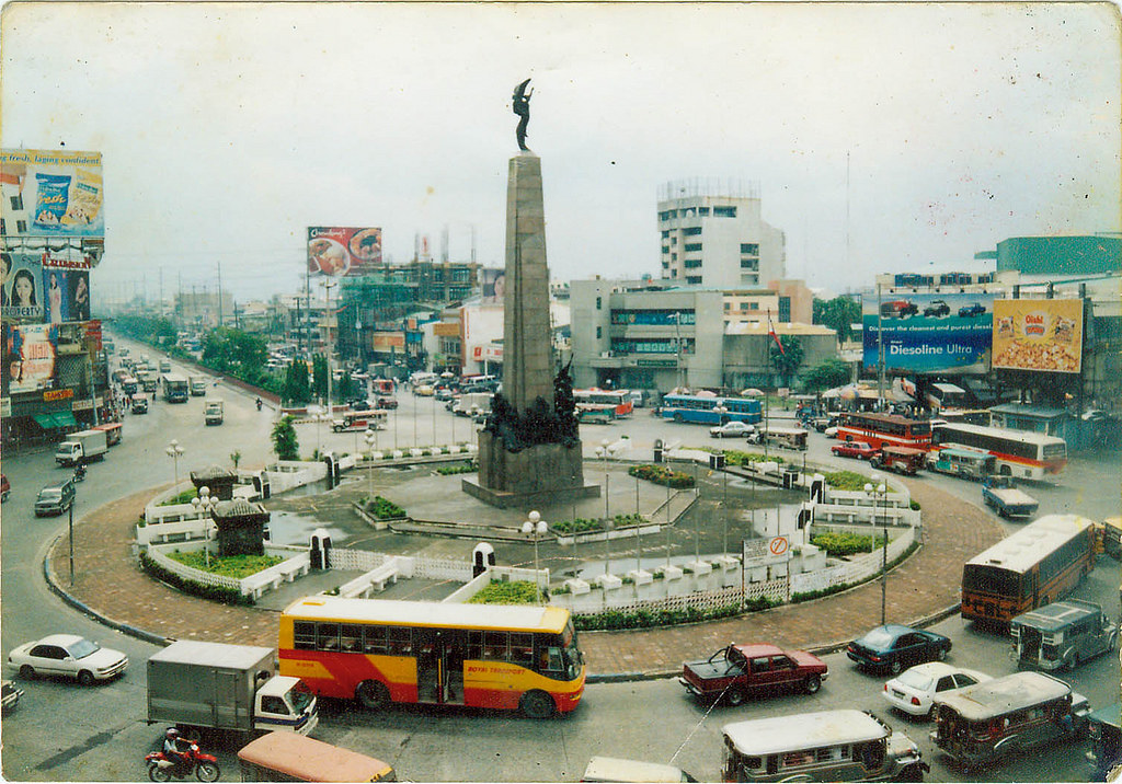
The MacArthur Highway (Manila North Road) goes through Bulacan from North to South. This has major intersections to other primary thoroughfares in 6 different towns:
- Meycauayan (to Pacheco Rd.);
- Bocaue (to Halili Ave.);
- Balagtas (to Bantayan St. to Bulakan town);
- Guiguinto (to Daang Maharlika leading to Baliuag, and NLEX exit);
- Malolos (to Paseo del Congreso and Mabini St. to Plaridel); and
- Calumpit (to Pulilan Regional Road to Pulilan).
What are the Bulacan Landmarks along the MacArthur Highway?
It begins from the Meycauayan-Malanday boundary (Meycauayan City is part of Bulacan while Malanday is part of Valenzuela City), then through the towns of Marilao, Bocaue, Balagtas, Guiguinto, Malolos City, and finally at the Calumpit-Apalit boundary. The town of Apalit is part of the province of Pampanga.
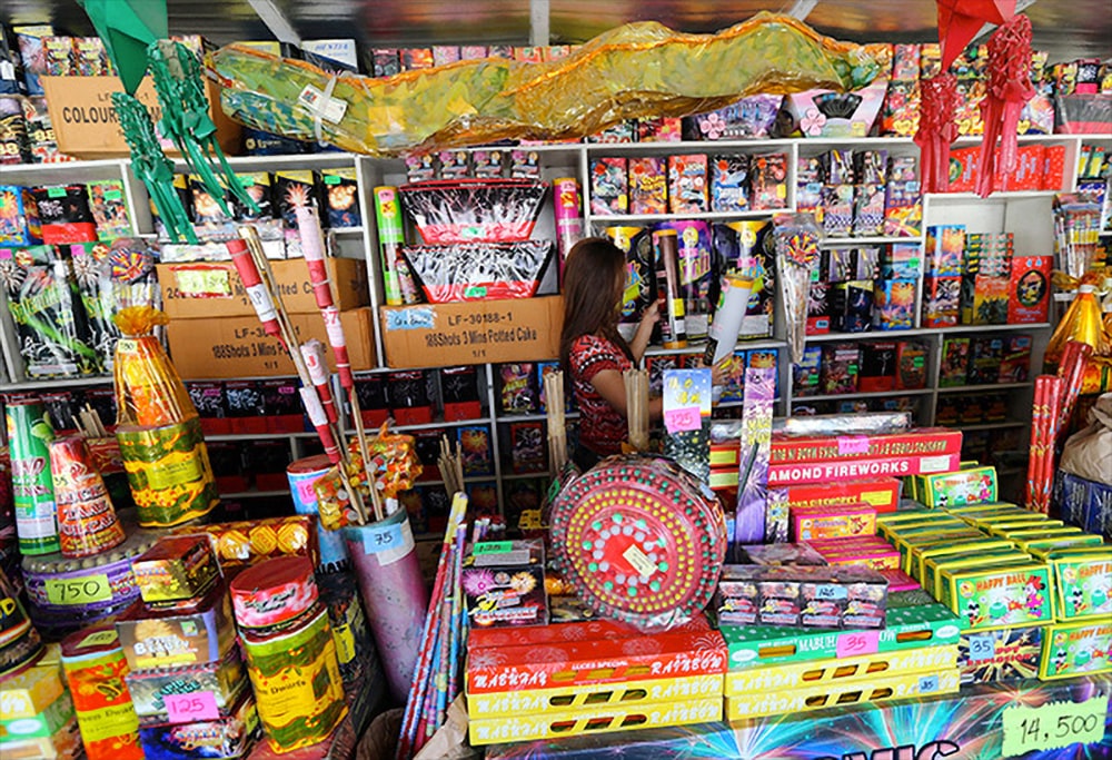
Along the way, you will pass by several landmarks in Meycauayan like the Meycauayan River, St. Mary’s College of Meycauayan City, SM City Marilao, Marilao’s Tabing Ilog Market, and Marilao River. After Marilao is Lolomboy, which is part of the town of Bocaue. There you will pass by Joners Supermarket, Jesus Is Lord Colleges, a strip of Fireworks stores, Bocaue Public Market, Bocaue-Santa Maria River, Dr. Yanga’s Colleges, and the Intercity Rice Mill.
When you reach the town of Balagtas, you will pass by Balagtas River, Balagtas Municipal Hall, Balagtas Public Market, Robinsons Supermarket, STI College Balagtas, Pascual Laboratories and Zapro Bistro. Once you cross the small bridge, you are now in the town of Guiguinto.
Read: Why is April 2 a Holiday in Bulacan? Because of Francisco Balagtas – The Best Filipino Poet!
In Guiguinto, you will pass by Divimart Guiguinto, Cruz Intersection, Golden Coliseum Cockpit Arena, MJY Bikeshop, Guiguinto Municipal Hall, San Ildefonso Parish Church, Guiguinto River, Walter Mart Mall Guiguinto, Ajinomoto factory (Flavor Food Products International, Inc.), LTO Guiguinto, Tabang cloverleaf bridge, then take the right exit going to the City of Malolos.
Read: Top 7 Beautiful Indoor Plants for Bulakenyo/Bulakenya Plant Lovers
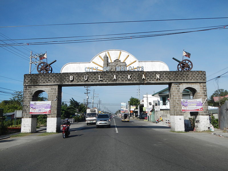
You will see a lot of garden shops along the elliptical road. You will also pass by Funnside Ningnangan restaurant and the Eurobake restaurant bakeshop before reaching the famous City of Malolos Bulakan arch.
In Malolos, you will pass by Parekoys Grill, Starbucks Coffee, several commercial restaurants, DJ Paradise Resort and Hotel, Bulacan Sports Complex, Robinsons Mall Malolos, Sacred Heart Hospital, the Bulacan Provincial Government Office, Bulacan State University, the New Malolos City Hall right next to Malolos Sports & Convention Center, and Centro Escolar University – Malolos Campus.
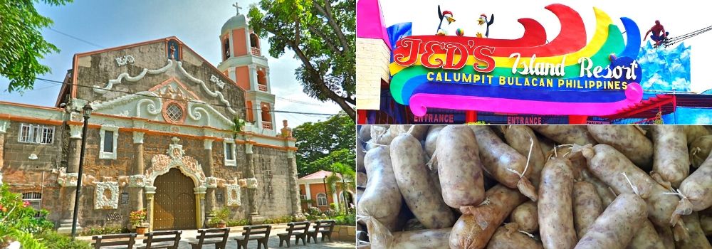
After Malolos is the town of Calumpit, which is famous for its “longganisang bawang” (Garlic Pork Sausage) and the historical St. John the Baptist Church. Along the MacArthur highway in Calupit, you will pass by United Pulp And Paper Company (UPPC), Angat River, Calumpit Public Market, Jed’s Island Resort, and the Pampanga-Bulacan Boundary Arch.
Why is it called MacArthur Highway?
According to history books, the MacArthur Highway was built in sections beginning in 1928 during the American occupation. It followed much of the route of the old Manila Railroad line from Manila to Dagupan. Its original name is Highway 3 but was also called Route 3 in early U.S. military records. The highway eventually reached the Ilocos provinces in the north and became known as the Manila North Road.
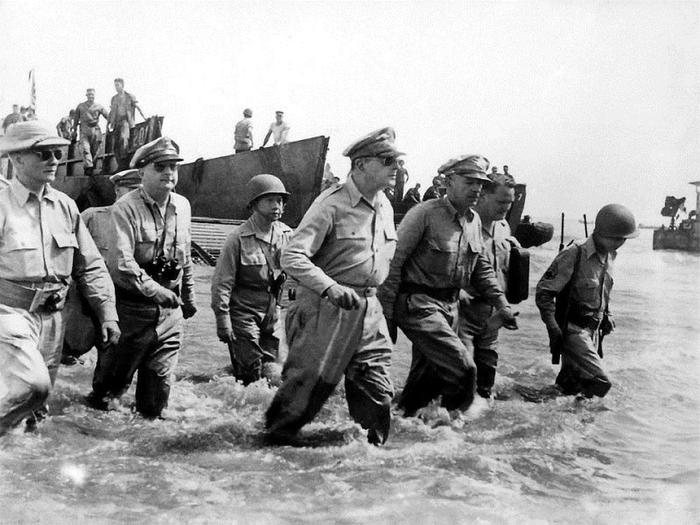
On June 17, 1961, the section of the Manila North Road between Manila and Pangasinan was renamed in honor of General Douglas MacArthur who returned to the Philippines to help the Filipinos defeat the Japanese army during the Pacific War.
You mean the “I shall return” guy?
Yes. The one and only, General Douglas MacArthur.
